Explore Skagit County
Parks and Recreation
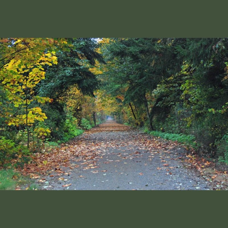
Skagit County offers an array of National and State Park choices, from a 670-acre camping park in an ancient forest to marine parks accessible only by boat. With natural scenic beauty at your fingertips, you’ll learn to reconnect with your body, mind, and spirit. Explore and experience Skagit County parks and recreation on your next visit.

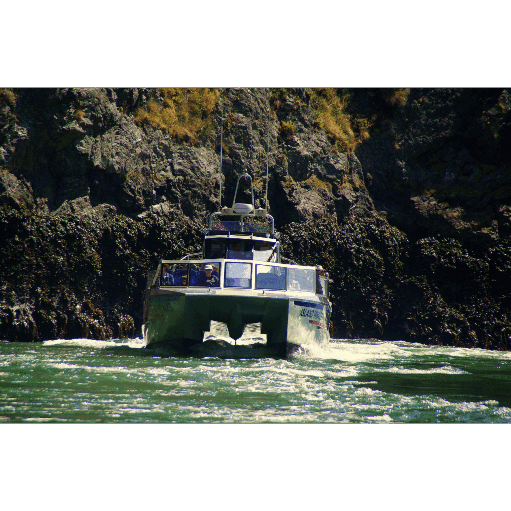
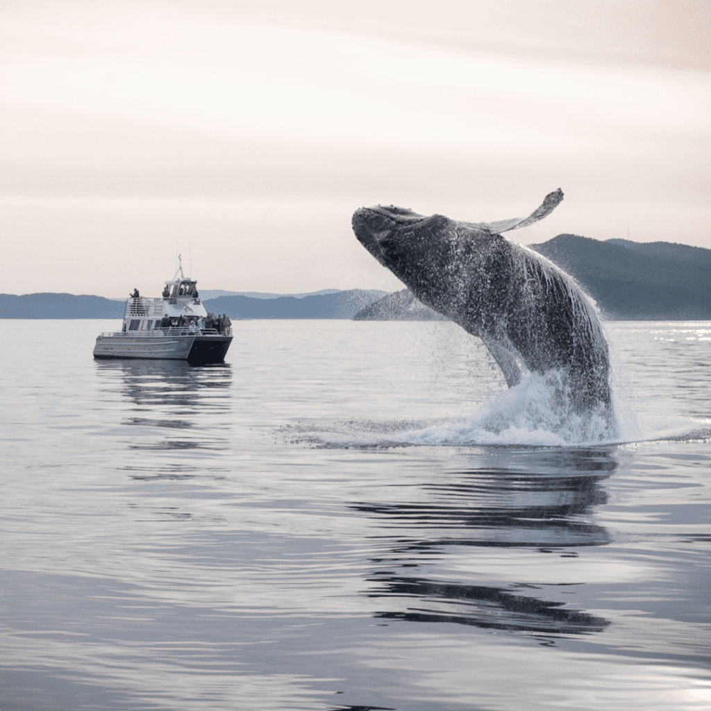
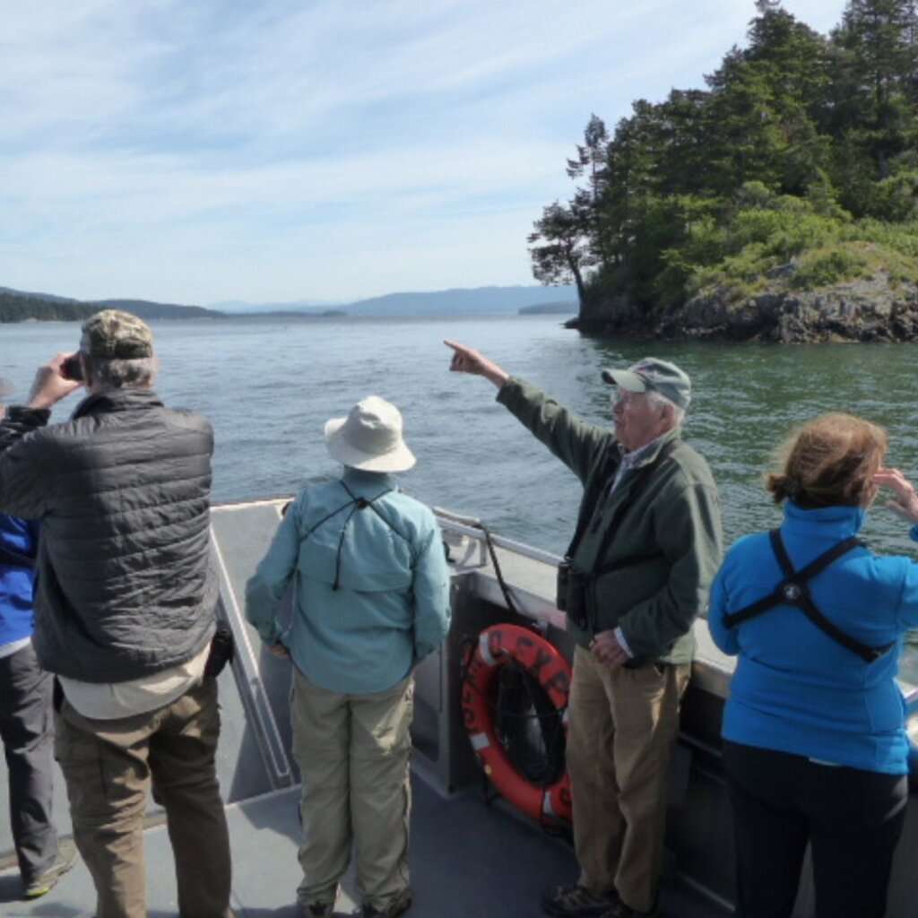
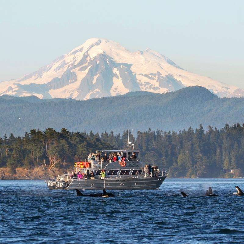
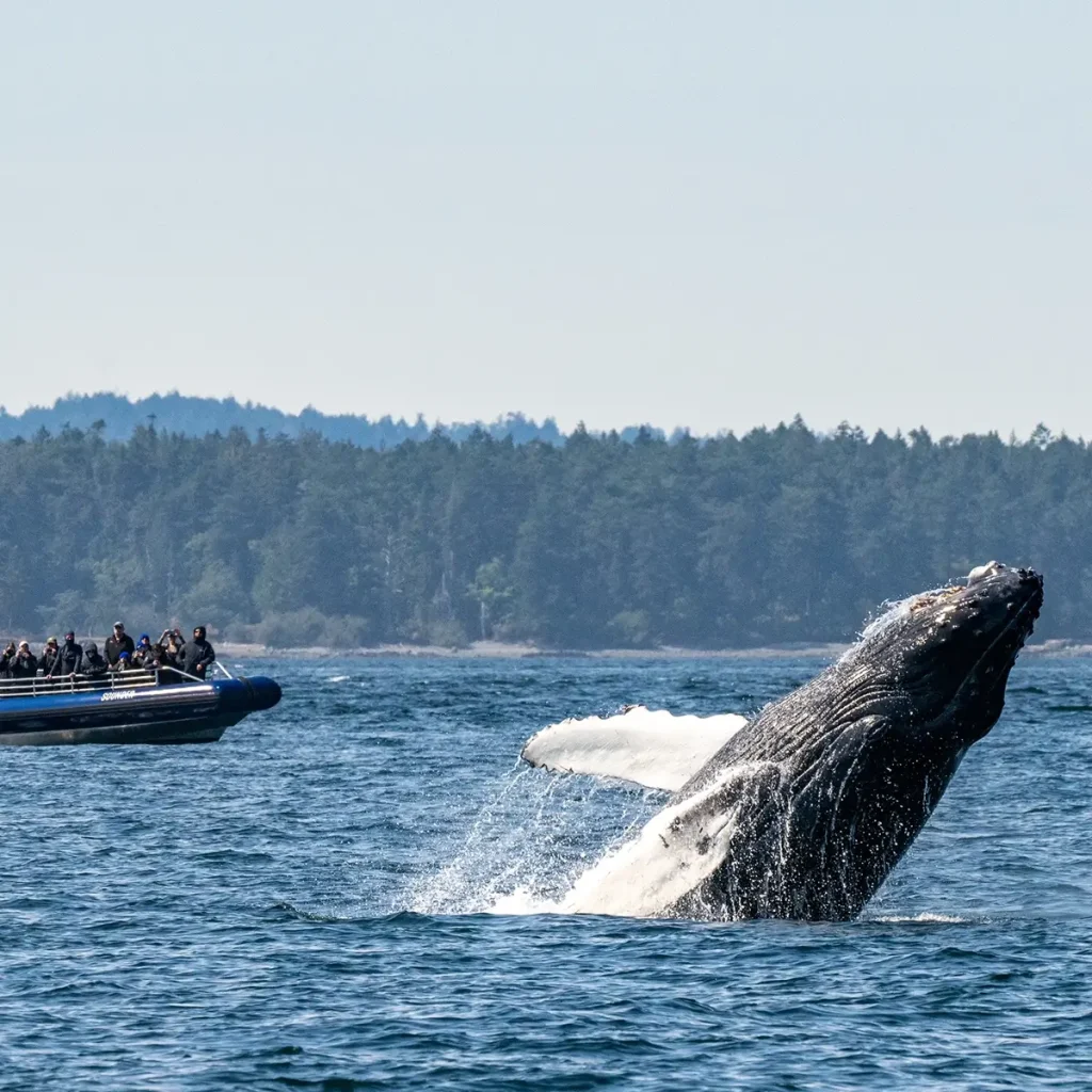
Spirit of Orca Whale Watching, Birding, & Wildlife Tours
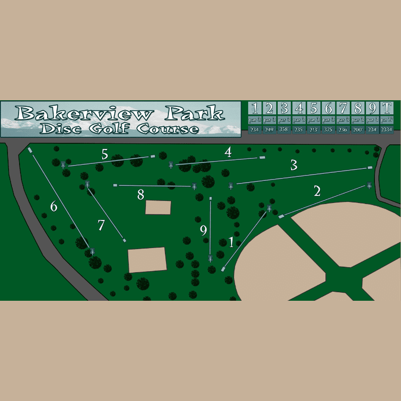
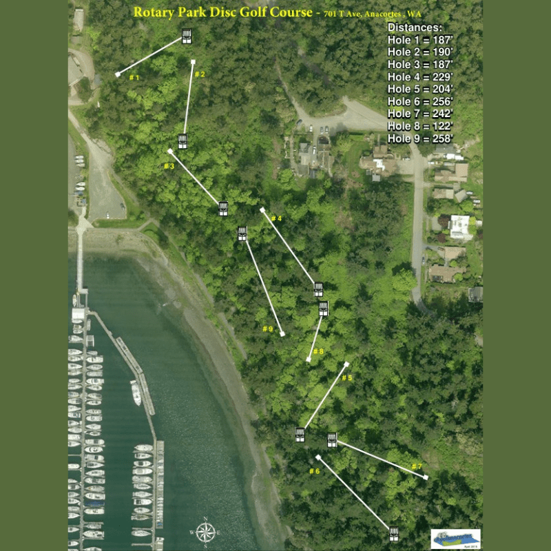
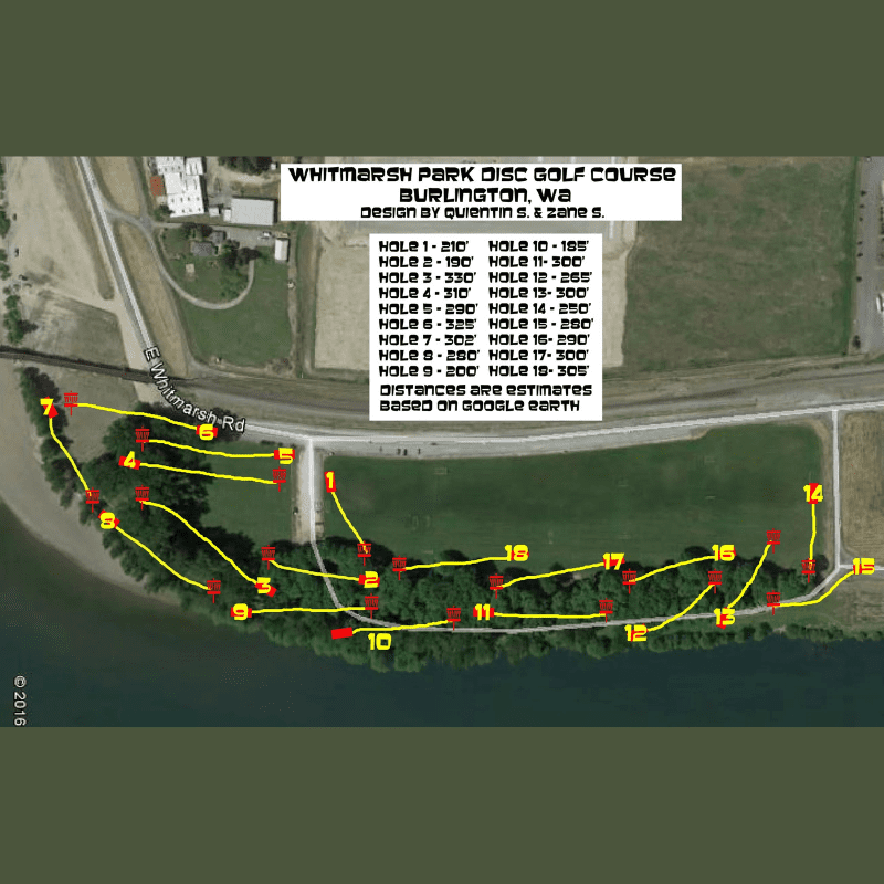
Bakerview Park Disc Golf Course

Blackburn Gardens
Blue Kingdom Whale & Wildlife Tours
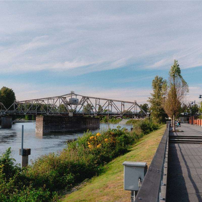
City of Burlington Parks and Recreation
Deception Pass State Park
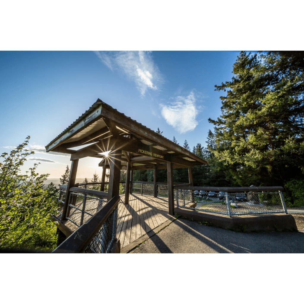
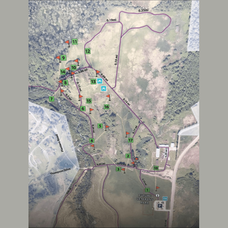
Little Mountain Park

Skagit County Parks and Recreation
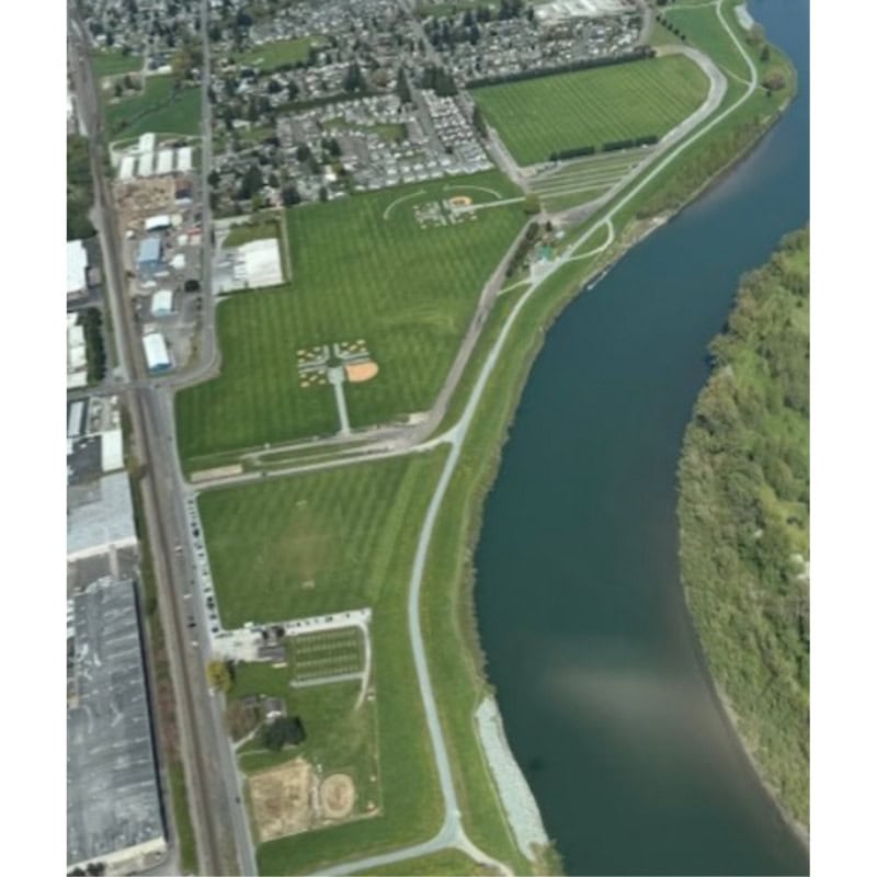
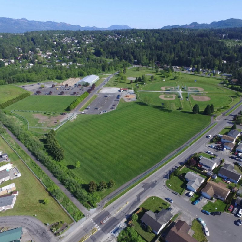
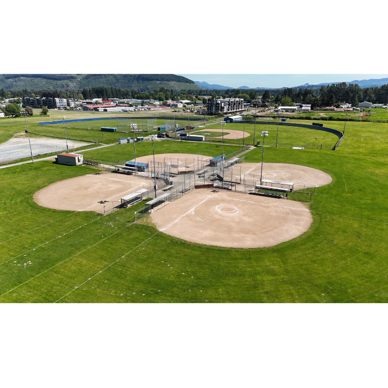
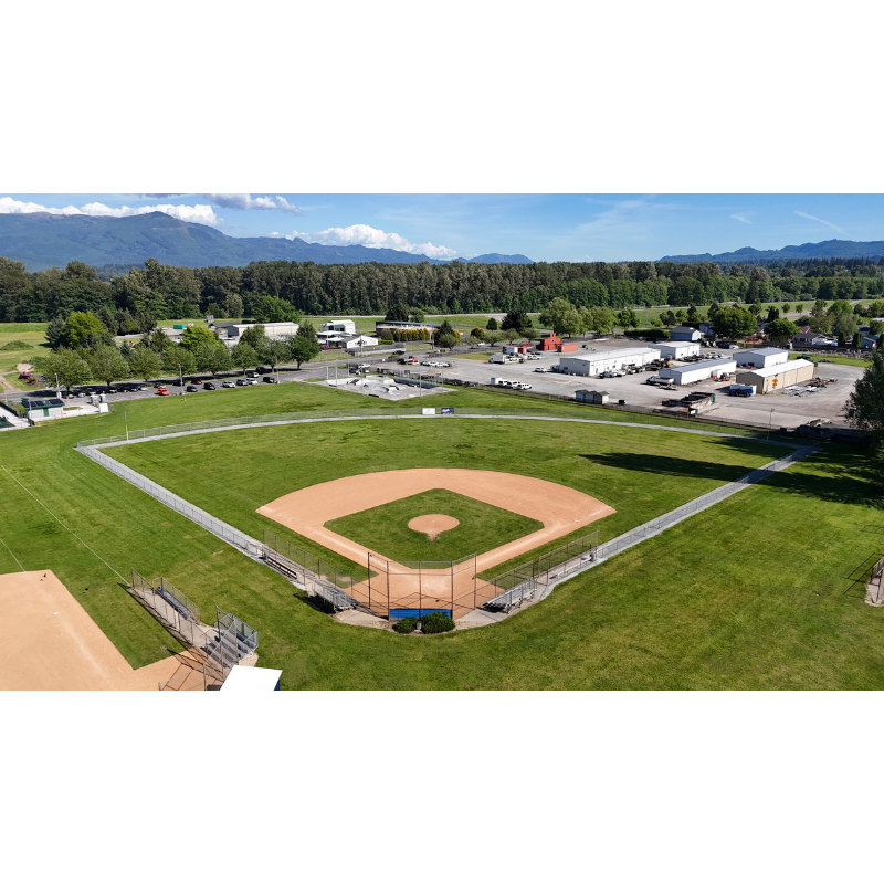
Skagit River Park Sports Complex
Spirit of Orca Whale Watching, Birding, & Wildlife Tours

Explore and Discover the Magic Skagit
Attractions and Activities for Every Interest


Things to Do in National and State Parks
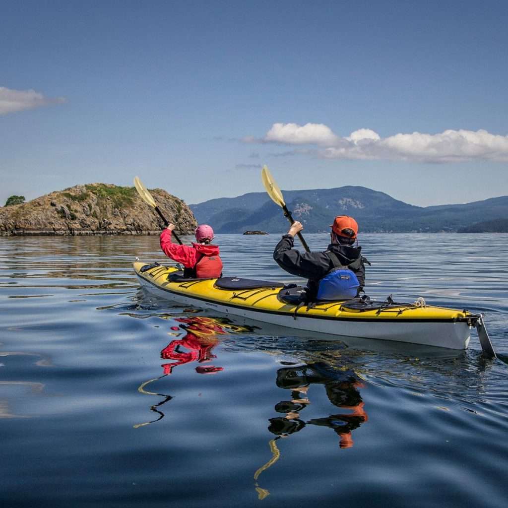
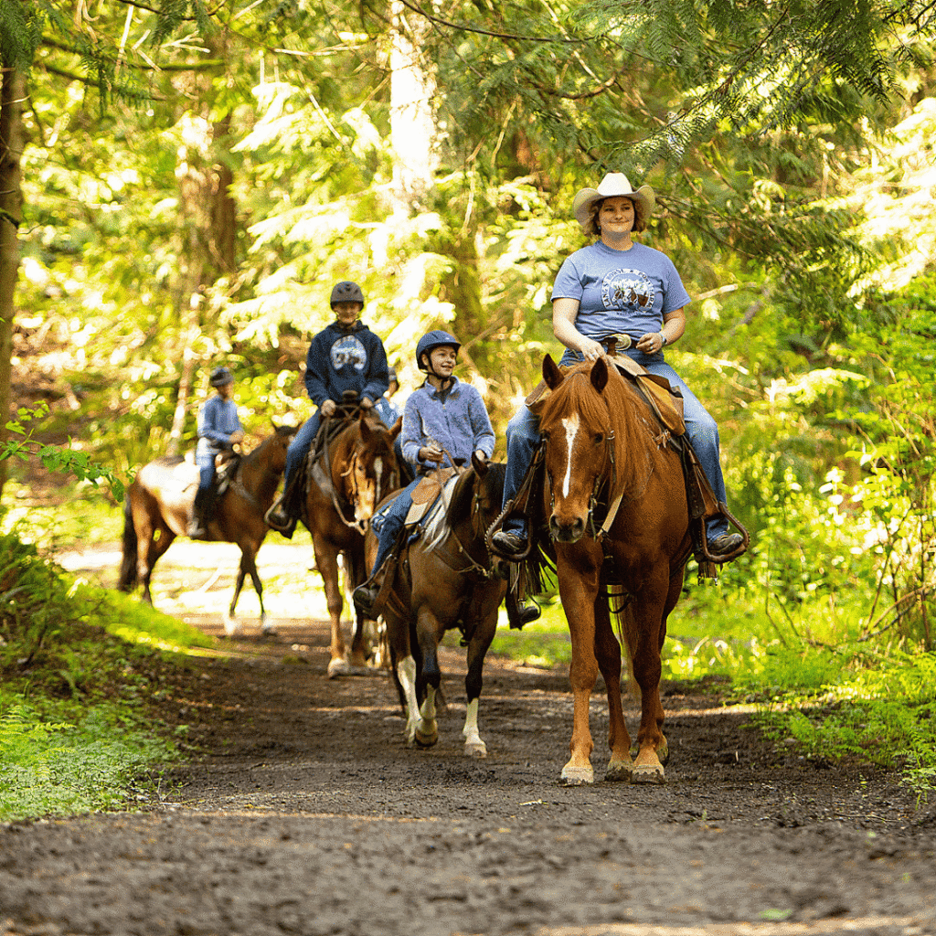
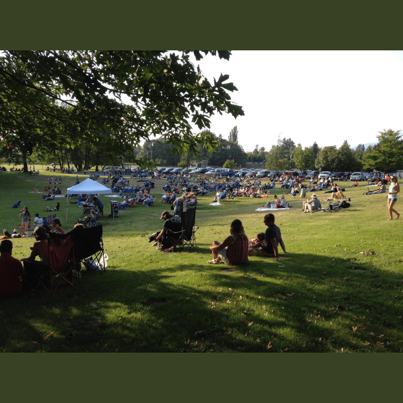
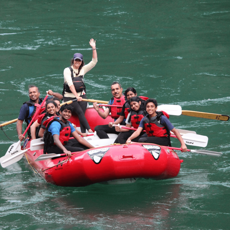
The outdoors offers many intriguing experiences for all ages. Enjoy the quiet waters of Skagit River and Padilla Bay by spending the day kayaking, fishing, paddle boarding, boating, swimming, exploring the beach, or spotting wildlife. Prefer to be in the mountains, unplugged from technology? Try off road adventures like camping, hiking, biking, rock climbing, horseback riding, looking for wildlife, photography, snowshoeing, or a scenic drive. There are endless opportunities to participate in Skagit County parks and recreation.
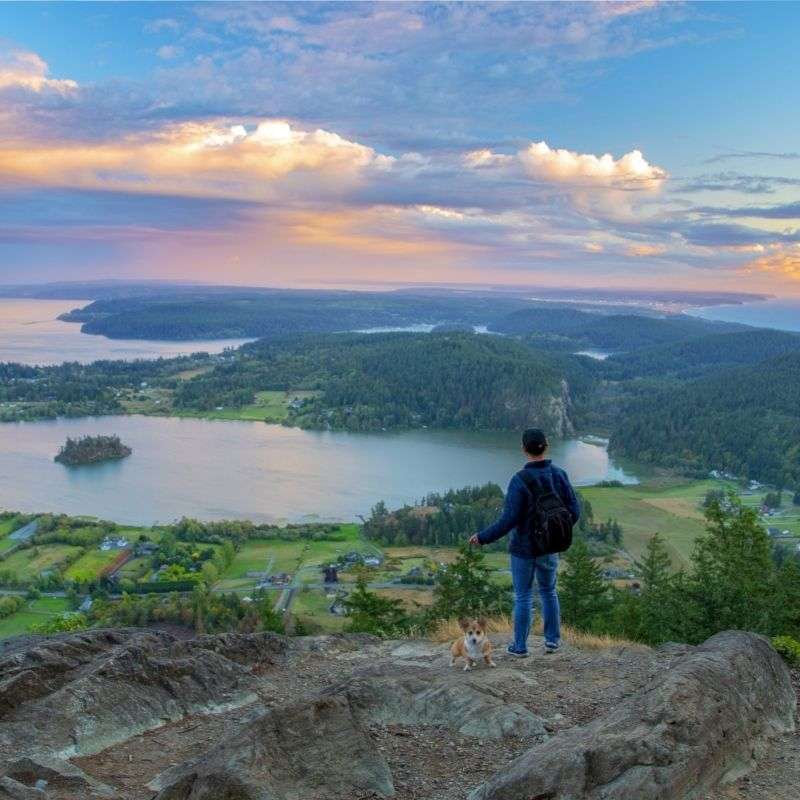
Local Wildlife Viewing
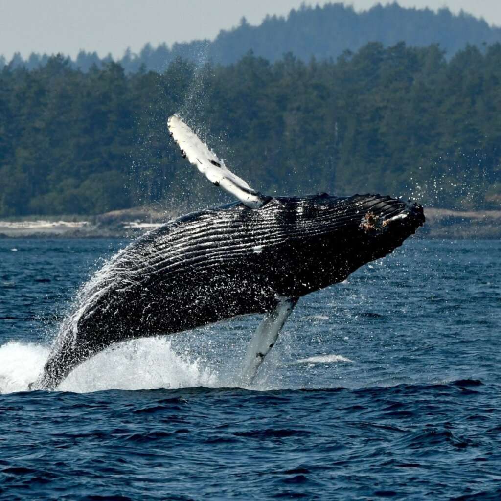
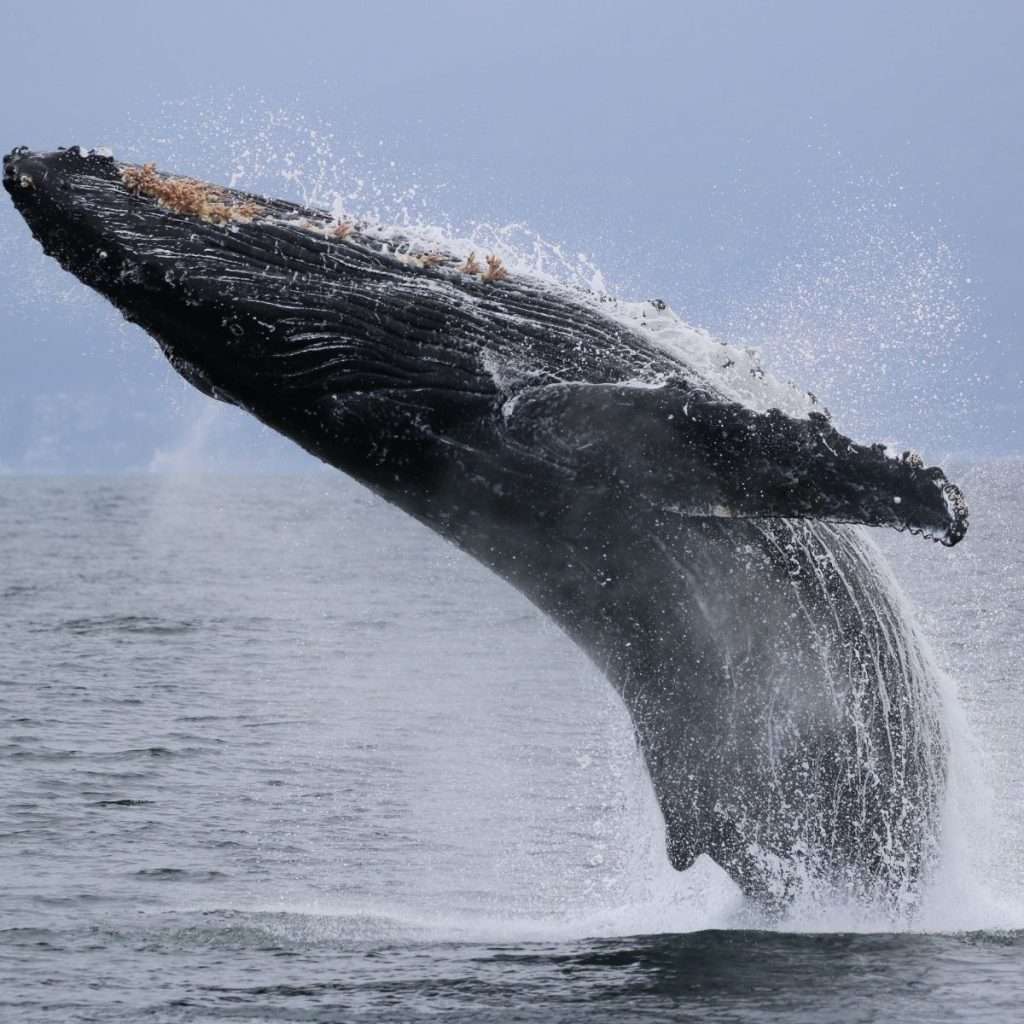
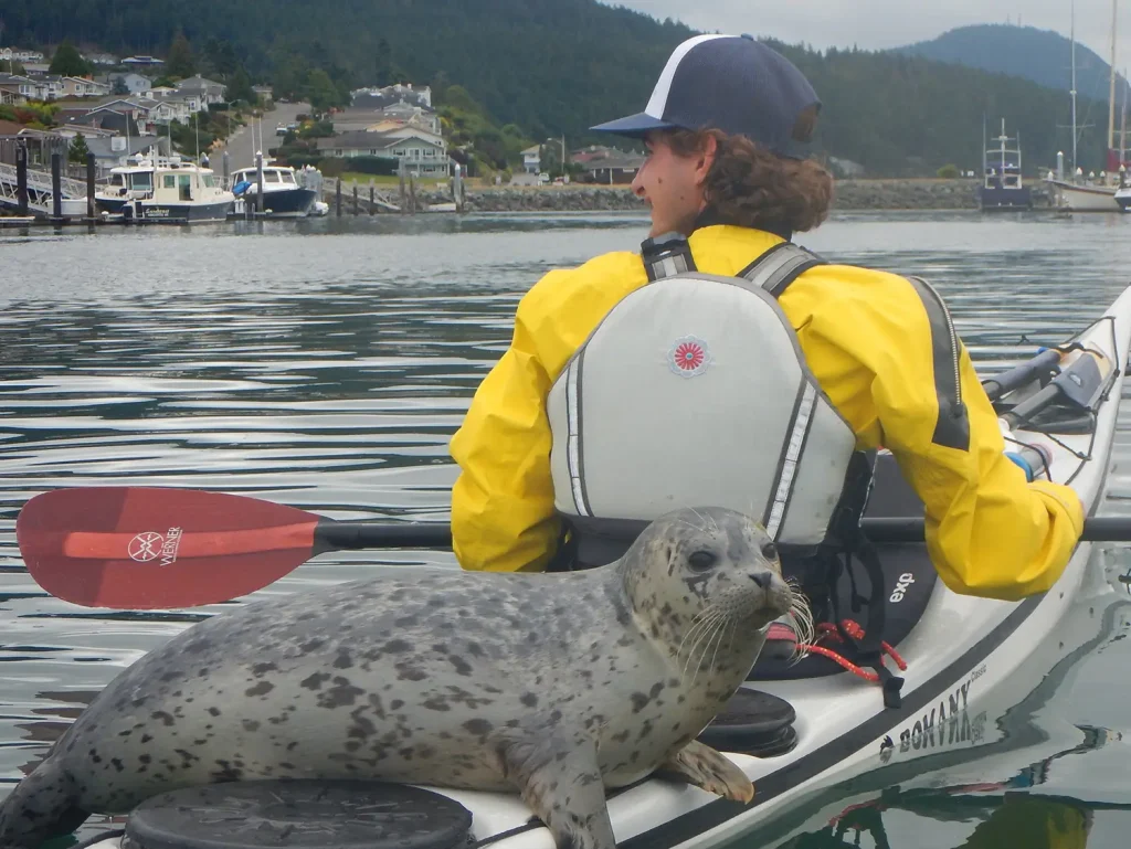
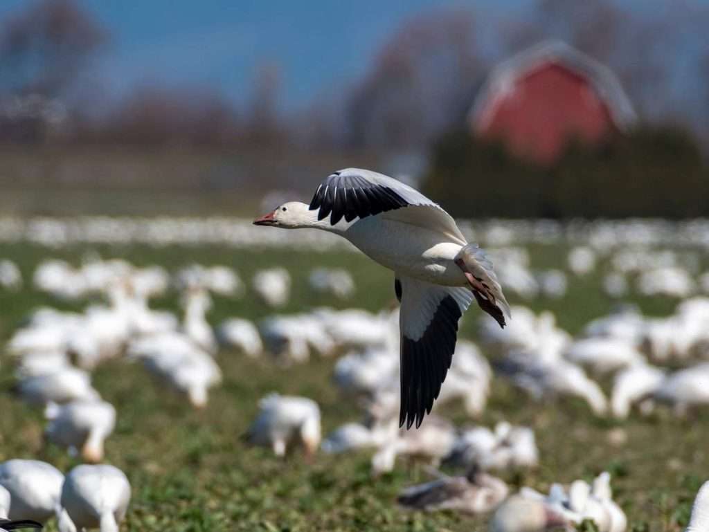
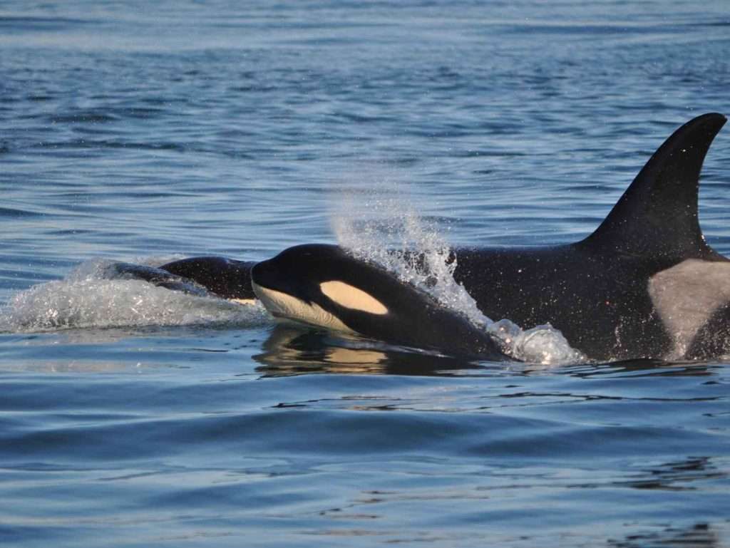
Skagit Valley is a watchable wildlife paradise! Take a hike through our National Estuarine Reserve or embark on a whale-watching excursion for some of the best opportunities to observe diverse species in their natural habitats. See if you can spot bald eagles, orca whales, salmon, crabs, elk, beavers, otters, or swans. Whether you prefer hiking trails or scenic drives, the Skagit Valley provides endless opportunities for memorable wildlife encounters. Don’t forget your binoculars—adventure awaits!

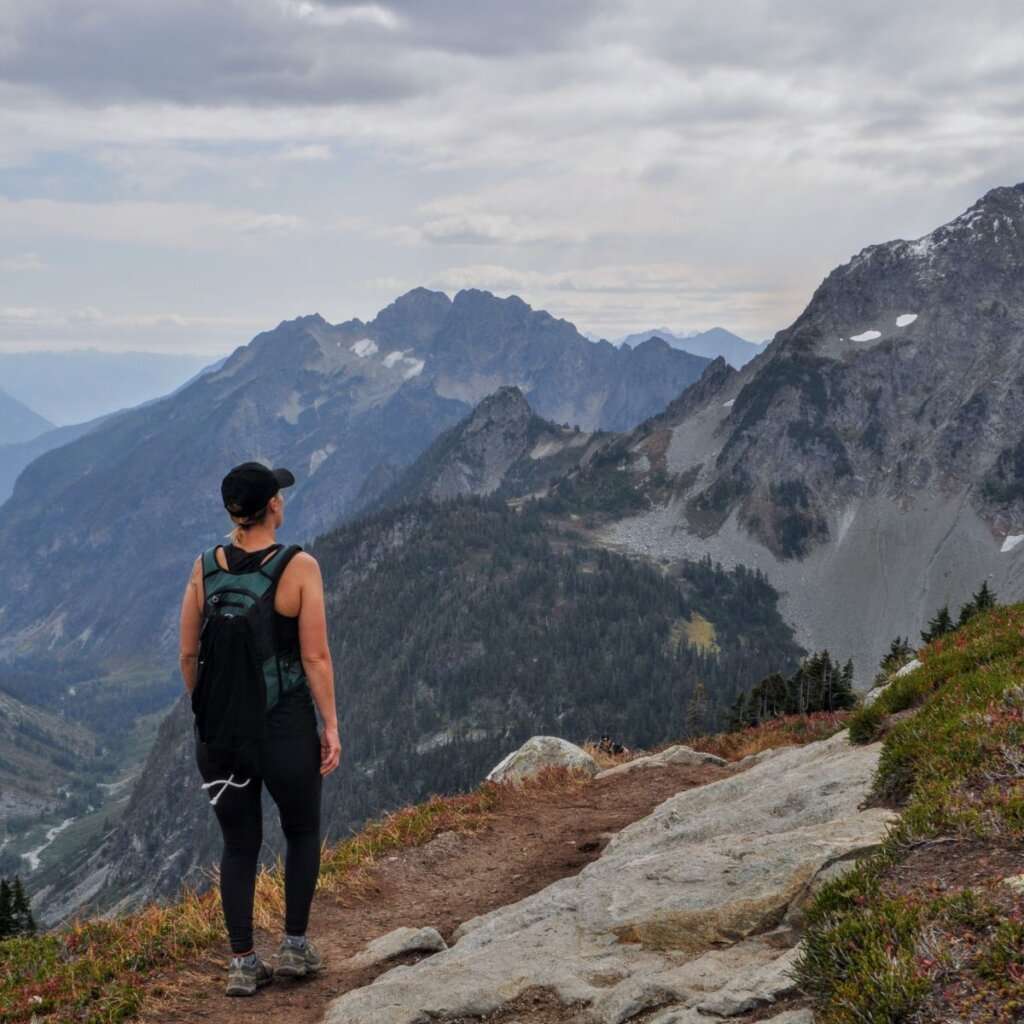
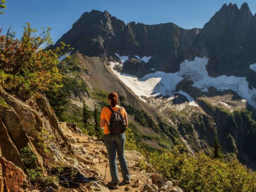
North Cascades National Park
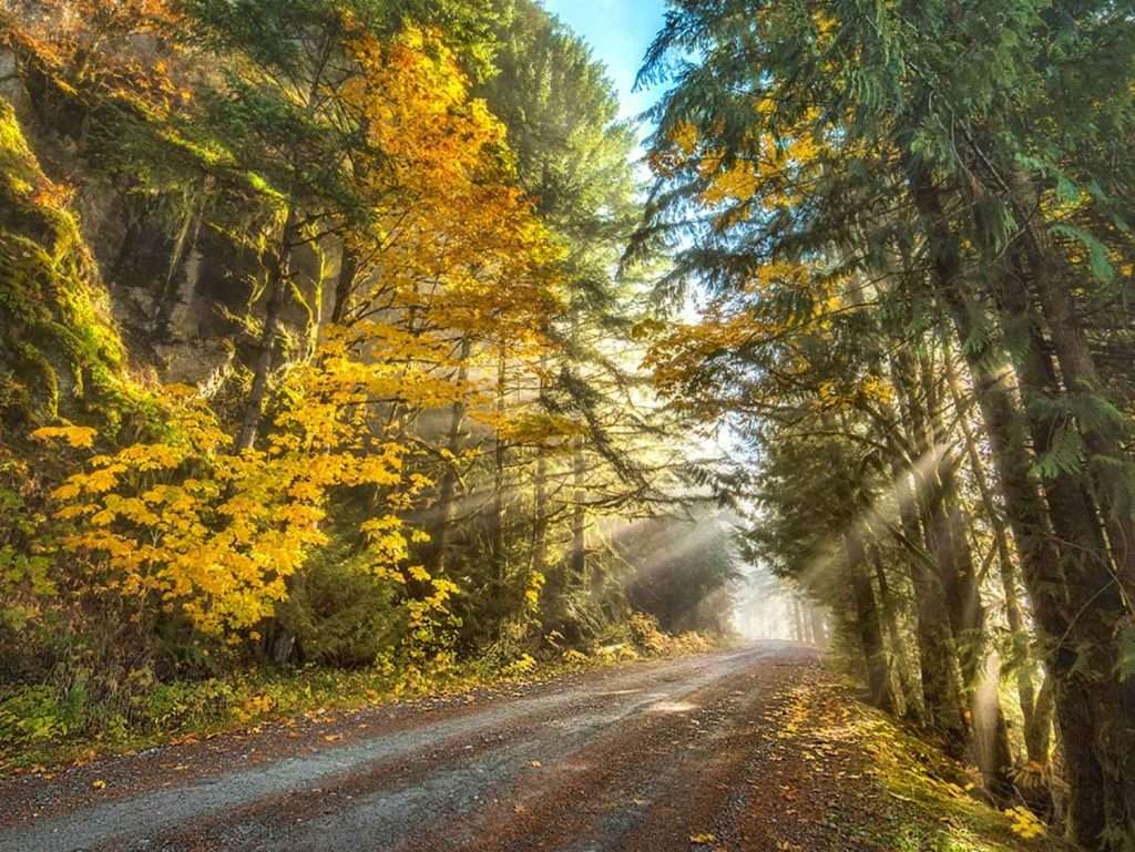
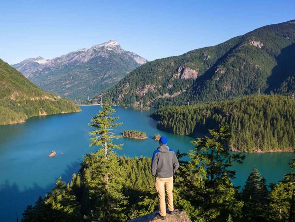
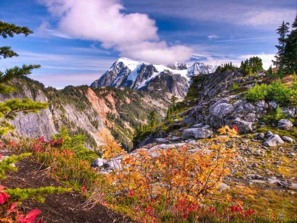
The North Cascades are calling! Located in the eastern region of Skagit Valley, the mountains, forests, rivers, and lakes of North Cascades National Park provide a rich tapestry of visitor experiences for all abilities and interests. Almost 400 miles of trails and vast undeveloped wilderness allow tourists to experience nature with minimal human-caused intrusions. Possible experiences range from accessible trails to world-class mountaineering, including scenic drives, hiking, camping, nature-watching, relaxation, boating, and fishing.
Are you looking for a backcountry permit? Stop by the Wilderness Information Center in Marblemount (7280 Ranger Station Rd) at State Route 20 milepost 105.3. Inside, find exhibits about wilderness and backcountry travel, map models, and sales of books, maps, and other items related to wilderness, hiking, and climbing. This center is the main backcountry permit office for North Cascades National Park and the adjacent Ross Lake and Lake Chelan National Recreation Areas. Backcountry permits are required year-round for all overnight stays in the backcountry of North Cascades National Park Service Complex. They are available at an outdoor self-issue station when it closes in winter.
Discover Skagit County Parks and Recreation Areas
North Cascades National Park
With over 300 glaciers, peaks, valleys, and cascading waterfalls, the North Cascades are fondly called the American Alps.
Mt. Baker-Snoqualmie National Park
Situated on the west side of the Cascades between the Canadian border and Mt. Rainier National Park, this park offers glacier-covered peaks, mountain meadows, and historic old-growth forests.
Bay View State Park
Bay View State Park is a camping park on the shores of Padilla Bay with amazing views of the San Juan Islands.
Deception Pass State Park
Deception Pass, spanning two islands and linked by iconic bridges, is known for its rugged ocean cliffs, serene forests, panoramic views, and breathtaking sunsets, making it Washington’s most visited state park.
Hope Island Marine State Park
A short boat ride brings you to Hope Island State Park in Skagit Bay. Most of the island is a protected nature preserve supporting a diverse ecosystem.
Larabee State Park
This iconic state park was established as Washington’s first state park. Enjoy incredible views of Samish Bay and the San Juan Islands while exploring 8,100 feet of shoreline.
Rasar State Park
Calling all hikers! This 180-acre camping park has tons to do, from camping and fishing to trails and wildlife observation.
Rockport State Park
Find rare, old trees and a view of the Skagit River while hiking at Rockport State Park.
Skagit Island Marine State Park
This 25-acre island is perfect for marine activities such as camping, boating, fishing, kayaking, and paddleboarding.
Saddlebag Island Marine State Park
This boat-in-only park has stunning pebble beaches, green forests, and open meadows.