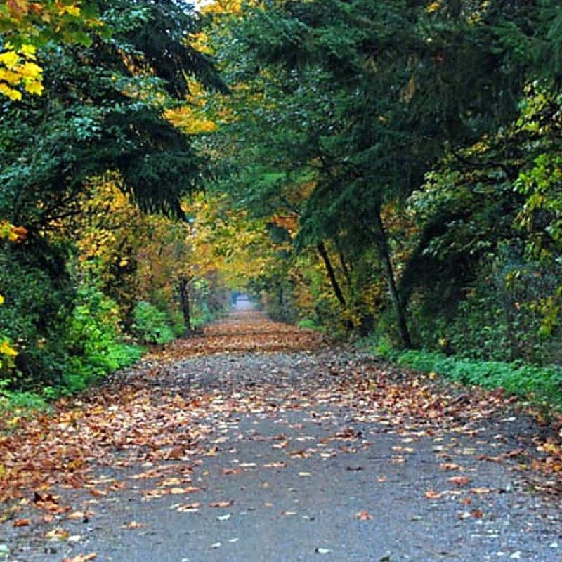
Cascade Trail - Visit Skagit Valley - North Cascades National Park to Farmlands to Salish Sea

Cascade Trail

The Cascade Trail runs 22.5 miles and follows the abandoned Burlington Northern grade along the Skagit River and State Route 20 (part of the North Cascades Highway and the Cascade Loop) while connecting the towns of Sedro-Woolley, Lyman, Hamilton, Birdsview, and Concrete.  The trail is a crushed rock multi-use trail open to pedestrian, cycling, and equestrian use.

cascade trail

Cascade Trail Highlights

The trail from Sedro-Woolley starts in the vast farmland of the Skagit Valley to the south of the North Cascades Highway. The trail is a back and forth between the Skagit River and the SR 20 with gorgeous views of farms and the North Cascade foothills.  Be on the lookout for many different bird species especially during the Birds of Winter Experience.

Just east of Hamilton, the trail crosses the North Cascades Highway/Cascade Loop and continues its travels on the north side of the Valley. See if you can spot bald eagles and be sure to look east to the popular hiking destination – Sauk Mountain.

Near milepost 19 the trail passes through land designated to protect the Skagit River population of the North Cascades elk herd – Hurn Field. You can see Hurn Field from this vantage spot.

Cascade Trail History

In 1983, Congress enacted an amendment to the National Trails System Act directing the Interstate Commerce Commission to allow about-to-be abandoned railroad lines to be “railbanked,” or set aside for future transportation use while being used as trails in the interim. In essence, this law preempts rail corridor abandonment, keeping the corridors intact as trails or for other transportation uses in the future.

In 1986 there were only seventy-five known rail-trails in the United States today there are more than one thousand for outdoor enthusiasts to enjoy. Cascade Trail is one of these “railbanked,” corridors!

Where to Access

The three trailheads for the Cascade Trail from west to east:

  • Fruitdale Road and SR-20: From Sedro-Woolley, drive about 1.5 miles east. The parking area will be on the right at the intersection of SR-20 and Fruitdale Road.
  • Baker Lake Road and SR-20: From Sedro-Woolley, drive east about 17 miles to the trailhead at Baker Lake Road and SR-20.
  • Railroad Avenue in Concrete: From Sedro-Woolley, drive about 24 miles east to the town of Concrete. Turn left on Douglas Vose III Way, then immediately right onto Railroad Ave. that ends at the trailhead.

Take Transit:  Skagit Transit Route #717 stops at several places along SR-20 that are very close to the Cascade Trail.

Things To Know

The trail is open year-round and Port-a-potties are located at the trailheads. Take time to sit and enjoy the Skagit River from one of the ten benches on the trail.

  • Day use only
  • Alcoholic beverages and glass containers prohibited
  • Pack it in, pack it out
  • Dogs must be on a leash
  • No open fires or fireworks
  • No Motorized Vehicles
  • Stay in the trail corridor

Click here for a printable map of the Cascade Trail:

Skagit County Walking Map including the Cascade Trail